SpatialKat version 6.2 includes the SpatialKat functionality and bug fixes summarized below:
SpatialKat Updates
Account policy LAYER_AMOUNT values between 0 and 1 are now treated as a percentage of total account value
When the LAYER_AMOUNT in the Account Policy exposure input file is set to a value between or equal to 0 and 1, the layer amount is calculated as the total account value multiplied by the decimal LAYER_AMOUNT value provided.
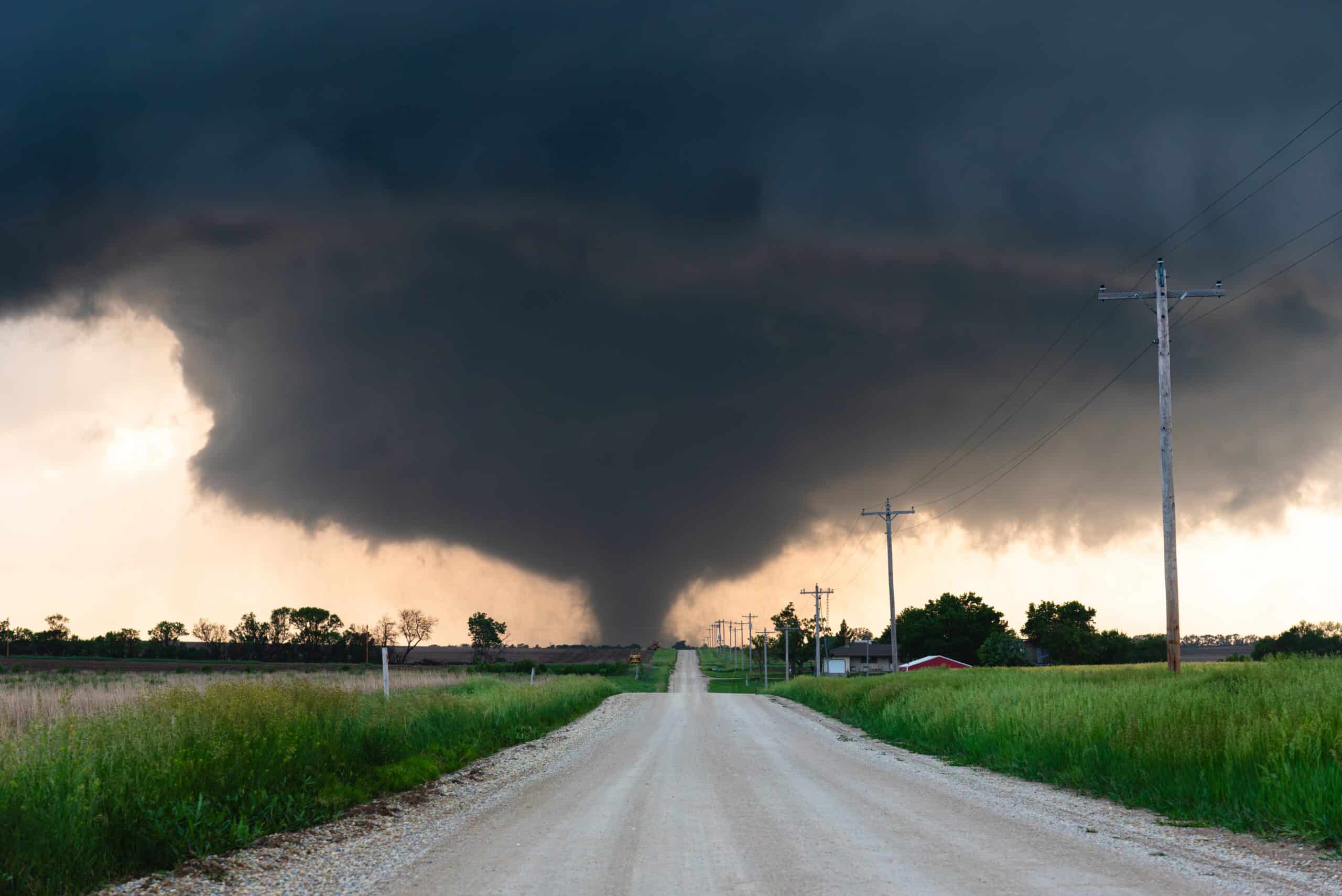
North America Tornado stochastic sample data has been updated to optimize file sizes
This new version of the sample data uses lz4 compression for all Sample data files.
Damage ratio cumulative distribution functions can now be applied at the region-peril level
The loss cumulative distribution functions given mean damage ratios were previously set to apply across all regions and perils (with one exception made for hail). With this update, these distribution functions can be specifically applied for a single region-peril combination.
Fixes
Tornado Event upload functionality fixed to allow event upload and analysis without error
A tornado Event upload bug has been fixed so that users can now upload and run tornado event files using both the 10- and 50-sample options.
Resolved bug causing an exposure processing error for a limited number of locations in North Carolina when including FEMA Zone Lookup
Commas in FEMA_ZONE_SUBTYPE names caused an exposure processing error that affected a very small number of locations, primarily in floodways under bridges near Charlotte, NC. This applied only when FEMA Zone Lookup was included on exposure import. It has been fixed and no longer causes an import error.