Climate Change

 Quantifying IMPACT ON PROPERTY RISK

Understand changes in risk due to climate change at the portfolio and location level using SpatialKat and KatRisk climate data layers. KatRisk models are capable of quantifying both the hazard and loss impacts of future climate change.

SPATIALKAT

  • SpatialKat 4.0 includes the ability to test various climate change scenarios as well as climate sensitivities and their associated financial impacts. 

  • Scenarios are stored for present time, 2025, 2030, 2035, 2040 and every 10 years beyond to 2100. 

  • Sensitivity options allow uniform hazard adjustments for all events/locations.

HAZARD AND LOSS MAPS

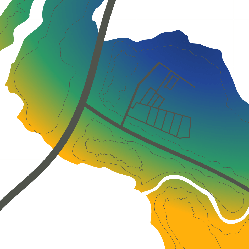
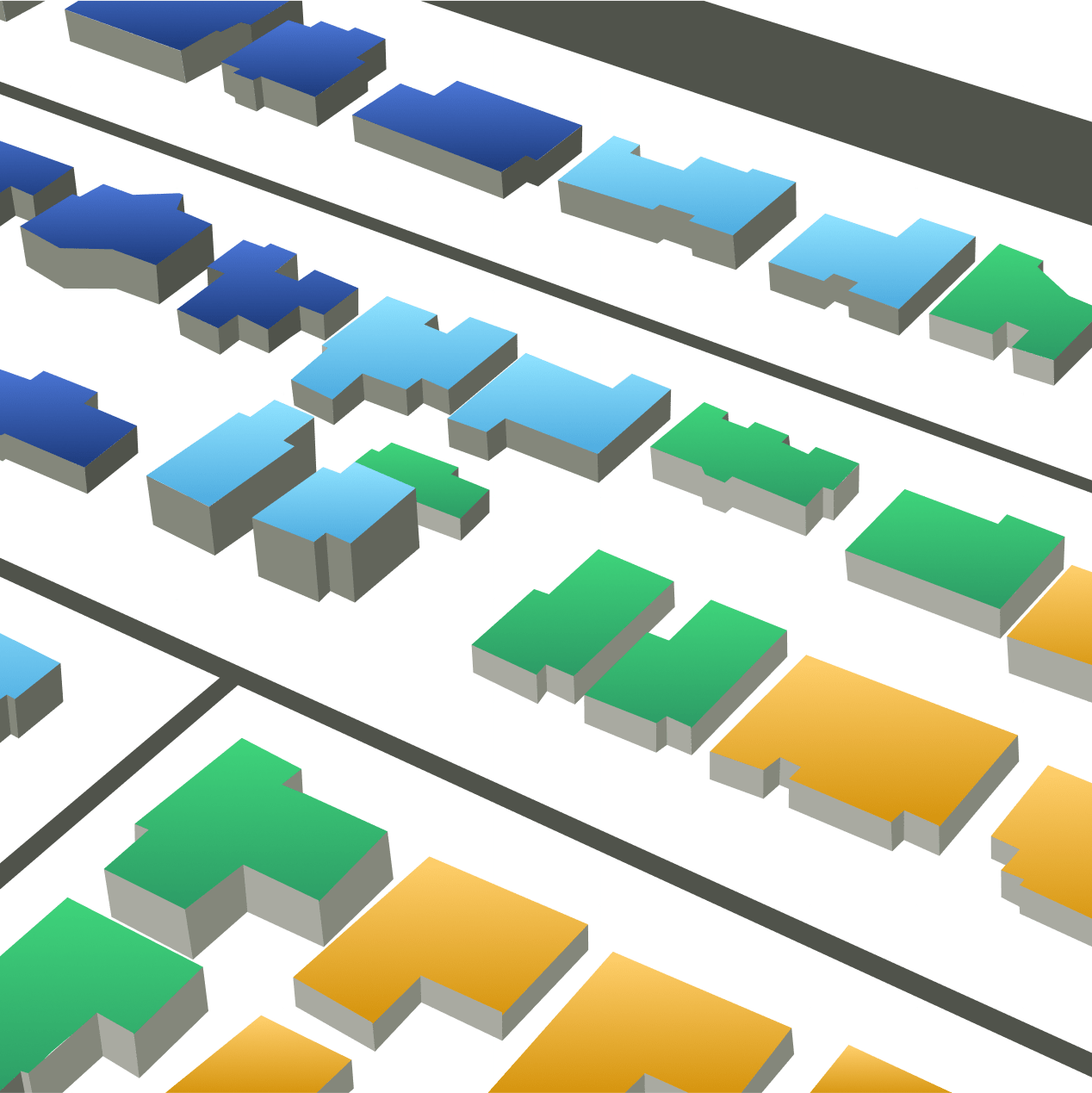
  • KatRisk climate data layers for storm surge and inland flood include flood depths, relative risk scores, and uniform exposure average annual losses for climate scenarios ranging from the present time to 2100.

  • Nuisance flooding climate data layers include flood depths for climate scenarios ranging from the present time to 2100.

  • Climate change data can be accessed via an API that can easily be integrated into workflows, providing insight around the impact of climate change on storm surge, inland flood, and nuisance flooding for locations in the US given a longitude and latitude.


Climate Change Modeling

Changes in Precipitation and River Flooding

Climate impacts on local precipitation intensities can be evaluated within KatRisk software using RCP 4.5 and 8.5 scenarios from downscaled CMIP5 CORDEX within the US (with LOCA scenarios also available) and Europe or globally using the relationship between temperature and atmospheric water holding capacity (The Clausius-Clapeyron Equation). The resultant changes in precipitation are then utilized to estimate runoff enhancement within our land surface model, resulting in increased and more frequent flooding. Financial impacts can be quantified in our SpatialKat inland flood models.

Sea Level Impacts on Storm Surge Losses

Within the SpatialKat storm surge model, likely sea level rise scenarios generated for RCP4.5 and RCP8.5 as well as NOAA can be modified within the analysis settings to adjust surge water levels on a regional or local level. These scenarios cover a range of potential outcomes over various time horizons from the current day to the year 2100. In addition to testing the scenarios, which offer a comprehensive view on sea level rise and how it changes over time and across regions, a user can also define a flat factor which increases or decreases sea level rise uniformly across the globe.

Tropical Cyclone Wind Speed Sensitivity

Within SpatialKat, clients are able to alter tropical cyclone wind-speeds by using a fully modifiable factor applied uniformly to all events. This feature, in conjunction with established climate research, enables a user to properly assess potential financial impacts on tropical cyclone wind due to climate change.

Nuisance “Sunny Day” Flooding

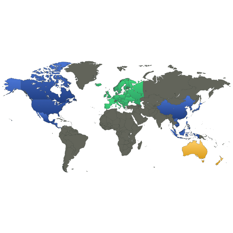
Our software allows for the worldwide assessment of sea level rise scenarios and the resulting impact on tidal flooding using multiple sources of scientifically accepted climate scenarios, all based on the RCP 4.5 and 8.5 and NOAA scenarios. These scenarios can be run over different time horizons from 2020 to 2100 and for multiple regionally variable sea level rise scenarios, forming an envelope of possible outcomes.


Use of KatRisk models in industry climate change reports

Residential Flood Risk in the United States, Milliman and Katrisk LLC

Residential Flood Risk

Groundbreaking study prepared by Milliman and KatRisk LLC demonstrating the value of utilizing catastrophe modeling to understand the impacts of climate change on the mortgage industry

McKinsey Global Institute report on climate risk and response

Florida Flooding

A report by McKinsey covering impact of climate change on storm surge risk within the Florida real estate market including KatRisk analysis