







Built on two decades of European seismic hazard science. Scaled with best-in-class catastrophe modeling.
KatRisk’s earthquake risk modeling brings country-calibrated seismic hazard, exposure, and vulnerability science into a single multi-peril catastrophe view, so teams get consistent risk metrics across earthquake and every other peril they underwrite.
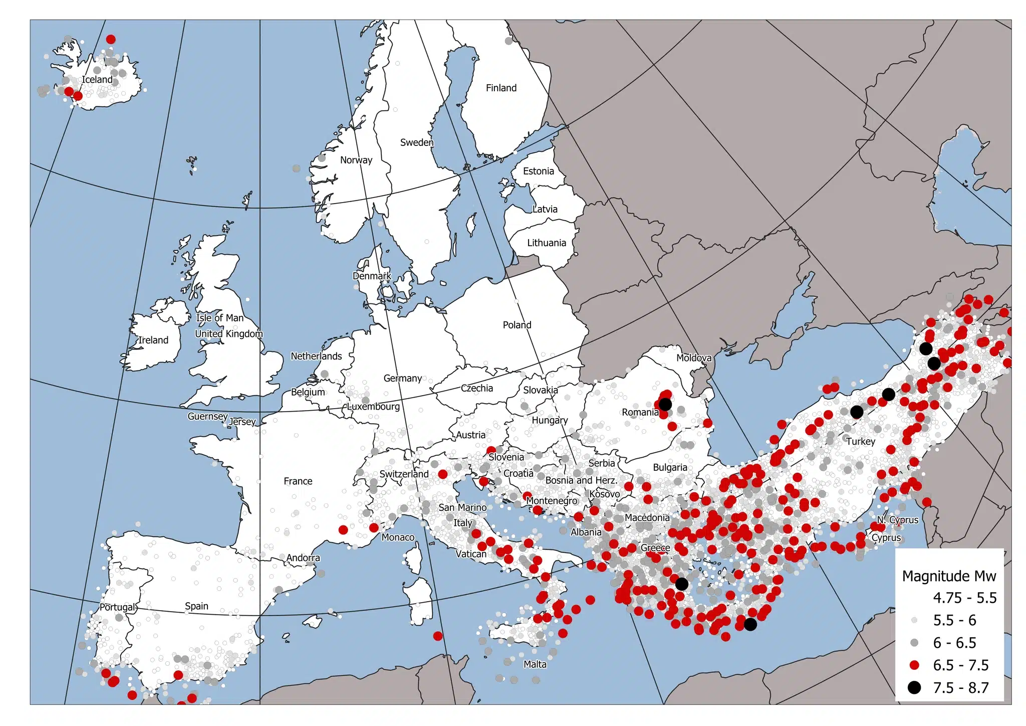
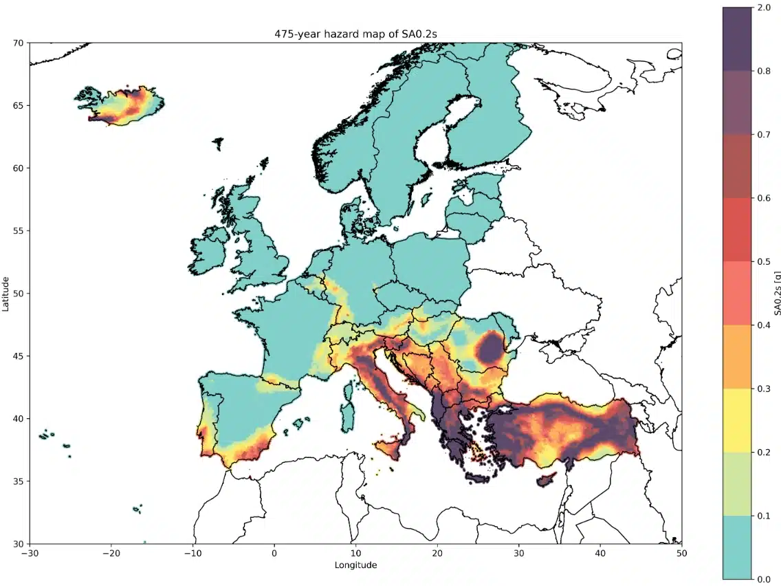
Leading European seismic hazard science. RED's earthquake models, built on the ESHM20 European Seismic Hazard Model and refined across Europe's most seismically active markets since 2008.
Best-in-class catastrophe modeling. Financial modeling, and portfolio analytics.
Built on the ESHM20 European Seismic Hazard Model, KatRisk's Earthquake Model runs a 50,000-year stochastic event set across roughly 1,500,000 simulated earthquakes, with resolution as fine as 1 km in urban areas. Four seismogenic source types (area sources, active faults, subduction zones, and deep non-subducting seismicity) are captured across 43 countries.
Most earthquake models treat each location's shaking independently. KatRisk's model explicitly simulates spatially correlated ground motion fields for every event in the catalog — capturing the reality that sites near one another tend to experience consistently higher- (or lower-) than-average shaking together. This is what drives realistic tail losses: without it, models systematically understate the correlated, portfolio-level losses that matter most for solvency and reinsurance decisions.
Damage functions are calibrated to each country's building stock and seismic code history, not a single continental average. Construction-era cutoffs are built directly into the model, using the open Oasis Exposure Data (OED) taxonomy standard.
Earthquake sits alongside KatRisk's wildfire, flood, tropical cyclone wind, and severe convective storm models on a single platform, so accumulation, pricing, and portfolio views don't have to be reassembled across vendors.
KatRisk's Industry Exposure Database maps building stock at 30 arcseconds resolution across 43 countries, validated against satellite imagery, spanning seven occupancy classes from residential to industrial.
Damage functions span building, other structures, contents, and business interruption coverage — a complete view of exposure, not just structural loss.
Underwriting with event-based hazard and country-specific, defensible drivers.
Pricing with risk metrics designed for decisioning, including sequence-aware loss views.
Scalable analytics for accumulation and concentration insight across a single multi-peril view.
Documented and positioned to support Solvency II partial internal model requirements.